
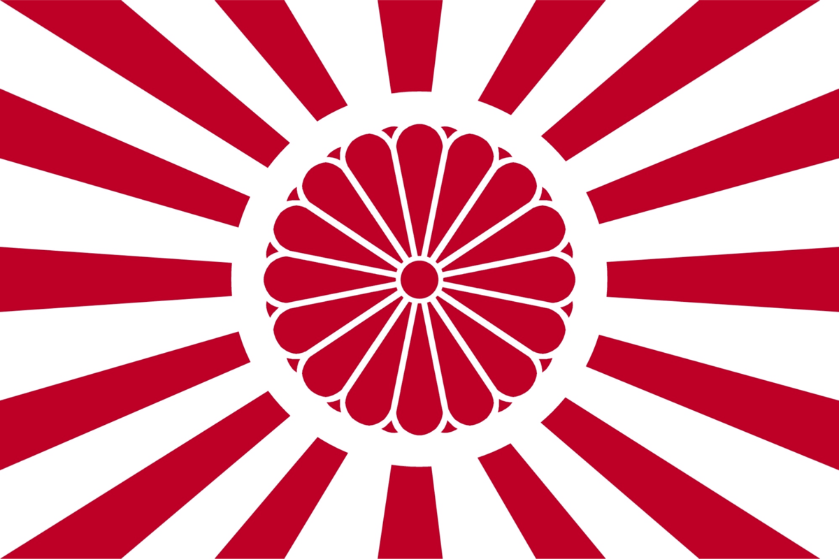
Evria (/ˈɛvriə/, EV-ree-uh) is Avium’s third-most populated and second-smallest continent. In general terms, it is bounded on the north by the watershed of the Ural Mountains and on the east by the Tethys Sea and Eastern Panthalassan Ocean. Evria is commonly considered to be separated from Elysia by the North Sea and the Sargassum Straits, and from Pelagonia by the Sahara Sea and the portions of the Erythra River system south of Lake Charmuthas. Evria, more specifically the Dîcle-Tirat Basin in Nabataea, is considered the birthplace of civilization. It consists of a range of national and regional cultures that form the core of the wider Astriyan-Rumaic society.
Etymology
The origin of the name ‘Evria’ remains a subject of significant debate among philologists and historians. The most widely cited theory holds that the name derives from the Old Astriyan word Evros (εὖρος), meaning "wide" or "broad," potentially referring to the sprawling plains of the Dîcle-Tirat Basin. However, this derivation is often contested by linguists who point out that Evros was traditionally a potamonym, a name for a river, and its transition to a continental designation lacks a clear historical intermediate. Furthermore, the phonetic shift from the masculine Evros to the feminine Evria is not consistently supported by the regional dialects of the period.
A popular alternative theory, proposed by Selmiran scholar Ciwancan Barzani, argues that the name has deeper, Nabataean roots predating the rise of Astriyan-Rumaic society. He posits that "Evria" is an Astrized corruption of the Proto-Divian term Hevîrya, comprising Hevîr, meaning "dough" or "essence," and -ya, denoting a place or land, making Hevîrya the "land of the beginning" or "the source."
Geography
Topography
Traditionally, Evria is broadly divided into two primary structural zones: Evria Proper to the northwest and Nabataea to the southeast, separated by the Boûsporos Strait. Generally, central Evria is more mountainous. Moving either north or south, the terrain descends from the Alps, Triros, the Massif Central, the Meseta Central, and the Astartolian Plateau, through hilly uplands, into either the broad Evrian Plain in Evria Proper or the low-lying alluvial corridors of the Dîcle-Tirat Basin, and eventually into the Nabataean Desert in Nabataea. This is a simplified description, and does not account for the Skanderna Mountains in Skjarnland and the Havasok Mountains in Turulia, among other geographically distinct subregions.
Climate
Evria is significantly colder than typical equatorial regions due to its position as a primary recipient of frigid polar air from Hyperborea's interior ice plateau, which counterbalances equatorial heating. This pattern is also evident across most of Northern Elysia, effectively pushing the meteorological equator and its associated tropical climate belt to a much lower latitude than the geographical equator, displacing the highest heat zones farther south. Consequently, Evria, which would normally experience perpetual tropical humidity, is instead characterized by a temperate climate.
Northern Evria and Thule experience the most pronounced cooling effect due to direct exposure to these Arctic winds. Winter temperatures in these regions regularly drop to -15°C to -25°C, while summer temperatures range from 10°C to 20°C, creating conditions characteristic of subarctic to cool-temperate climates. Snow cover persists for 4-6 months annually in northern zones, with frost possible throughout the year at higher elevations.

Central Evria and Nabataea occupy a transitional zone where Hyperborean influence gradually diminishes with distance. Temperatures moderate progressively southward, with winter lows ranging from 0°C to 10°C and summer highs reaching 25°C to 30°C. Seasonal temperature swings remain pronounced due to the extreme variation in Hyperborean wind intensity between winter (maximum katabatic activity) and summer (wind reversal period), creating distinct seasons despite Central Evria’s position directly on the equator, with a cold dry season corresponding to Hyperborea's winter and a warm humid season during Hyperborea's summer when the polar low-pressure system reverses atmospheric circulation.
Southern Nabataea marks the southern boundary of Arctic influence, transitioning to a hot, semi-arid to arid climate. Year-round temperatures range from 10°C to 20°C in winter to 30°C to 40°C in summer, with low humidity and minimal precipitation, except during brief seasonal rain periods. The transition zone between temperate Central Nabataea and hot Southern Nabataea is relatively narrow, spanning only 200-300 kilometers, creating an abrupt climatic boundary where ecosystems shift dramatically from temperate forests and grasslands to semi-desert and desert scrubland.
Government
The political map of Evria is substantially derived not from the more recent Great War, but from the Napolyonic Wars, and its borders have remained remarkably stable since then. As of 1928, forms of government are almost equally split between monarchies and republics/federations.